Sponsors: ♦ Wu Style Taichi (吳家太極拳) ♦
About us
HK intro
Easy Walk
River
Hiking
Coastine
Caving
Overseas
Gallery
Join us
Hiking tips
Other sites
Publicity
Contact us
Outdoor Doctor
FaceBook Group
Order FREE HK Travel Brochure!
Visitors
since April 2000
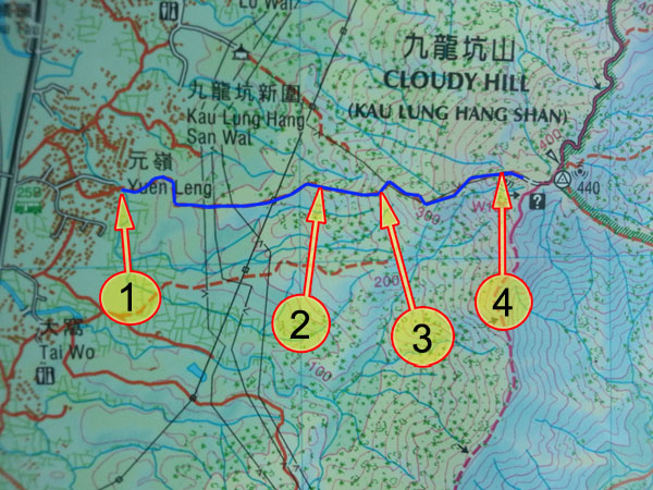
YuenLeng (元嶺) -> Cloudy Hill (九龍坑山)
Difficulty:

Last Visit: 20 July 2014
NT North
Trip Description
This route is short. The marking on the country map is also very clear. Looks like a piece of cake on the map. I still rate this route as 3 stars because this route is very difficult to follow. There are many sharp plants living there. I think nobody has visited there for a long time, the path is almost unrecognizable amidst the plants. There are indeed some guiding ribbons, they may not be sufficient to guide your through dense bushes. It really takes a lot of energy and guess work to finish this trip.
| ||||
Location 1: Altitude 35M
| ||||
Location 2: Altitude 160M
| ||||
Location 3: Altitude 245M
| ||||
Location 4: Altitude 420M
| ||||


|
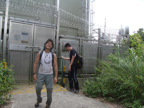
 This is the entrance of this route.
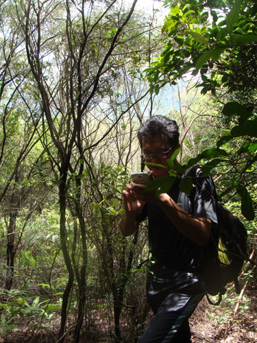 Trekking inside the forest.
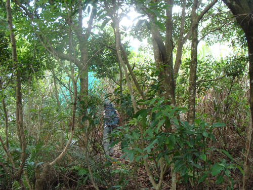
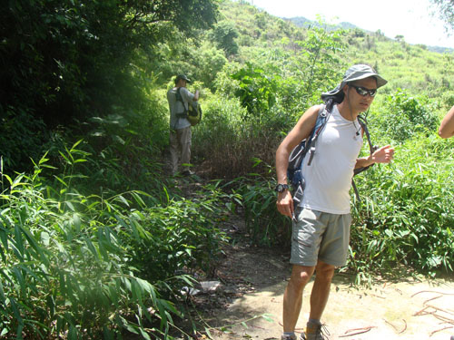
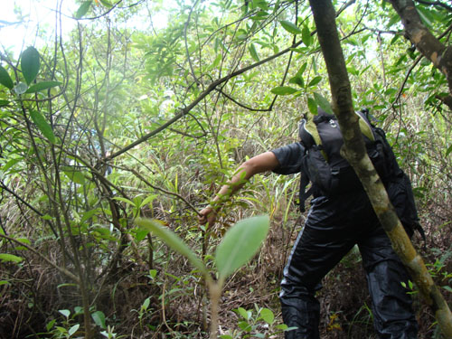 Locked up by the bushes. The major of the hike do look like this.