Woyang Stream (禾秧坑) could be classified as a part of Tai Shing Stream river system. This stream is an upper stream of Tai Shing offshoot. There is no magnificent waterfall, no swimable water pool. However, it has many big rocks, it is real fun to climb along.
The lower half of this stream is mainly running inside a forecast and is quite steep. Spider web and random branch are common. Upper half is more exposed and gentle with very refreshing views.
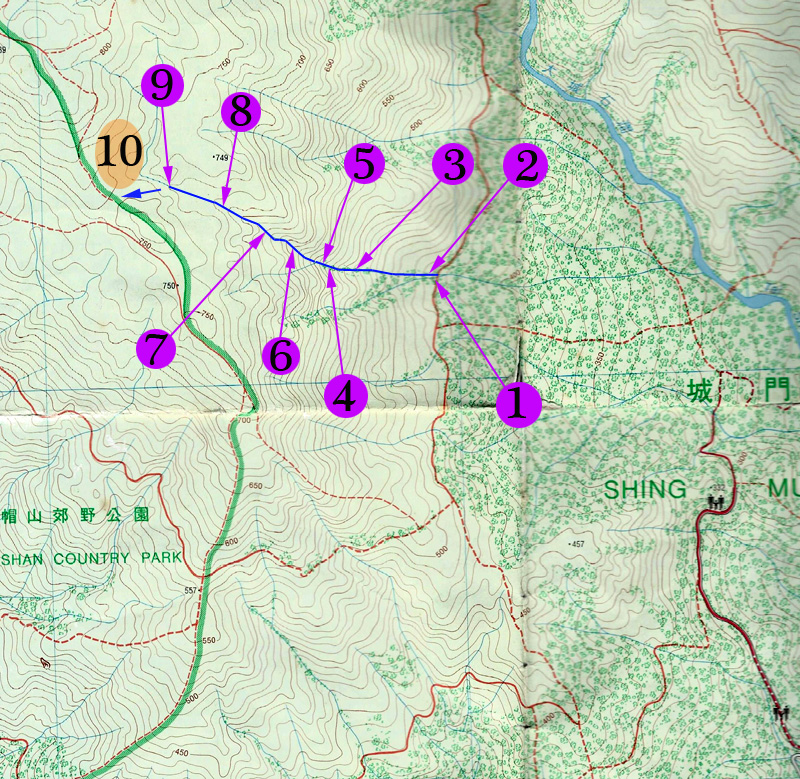
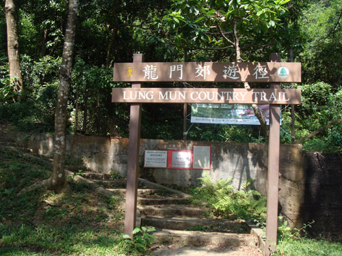
The entrance is very easy to locate. Most hiker will start from Lung Mun Country Trail (龍門郊遊徑) near Shing Mun Reservoir (城門水塘). The trail will bring you to the stream entrance directly. There are sufficient ribbons to guide your through the stream. As long as you stay alert, you won't get lost.
Location 1: Altitude : 435M
The stream entrance is a few step behind this warning sign.
Location 2: Altitude : 445M
Looks like the stream was sealed with roots and branch. Just be persistent, you will get through it.
Location 3: Altitude : 530M
Still inside the forest. There is some water dripping on the rocks. It is the "biggest" water pool so far.
Location 4: Altitude : 565M
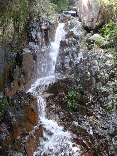
This waterfall is of 5M high. Water flow is rather limited.
Taking rest by the waterfall. Overcome the waterfall on right.
Location 5: Altitude : 585M
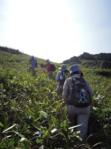
We are leaving the forest. Start climbing on relatively exposed rocks.
Location 6: Altitude : 180M
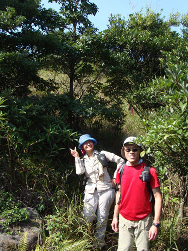
Now the stream really flattens off. It is real nice place to take a break and have a cup of hot tea.
Location 7: Altitude : 670M
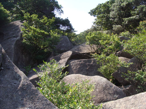
With these pictures, you may ask if we have left the stream already. In fact, we are still on the upper stream. Water is flowing beneath those big rocks.
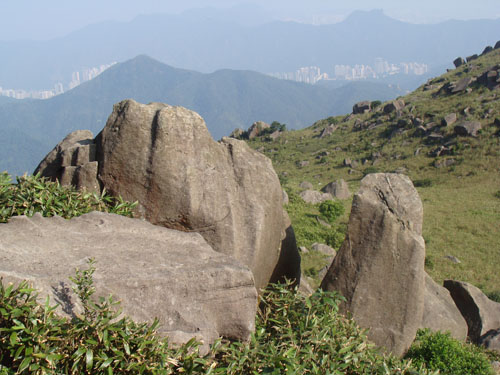
It looks like a rock river rather than a stream.
Location 8: Altitude : 705M
Here you will find a number ribbons on your right indicating a possible exit. It is however, you will find this exit path leading you to some heavy bushes. My recommendation is keep moving along the stream, a better exit is not far away.
Location 9: Altitude : 720M
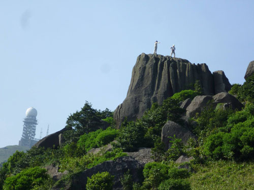
Here we have an exit on the left. This exit will bring you to the Rock Forest and the main hiking path.
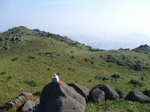
Location 10: Altitude : 755M
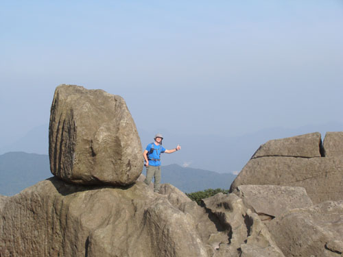
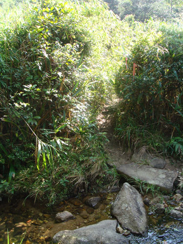
This area is called a Rock Forest where big and funny rocks are standing. The path connecting the Rock Forest and the stream is quite bushy but recognizable.


 Woyang Stream (禾秧坑) could be classified as a part of Tai Shing Stream river system. This stream is an upper stream of Tai Shing offshoot. There is no magnificent waterfall, no swimable water pool. However, it has many big rocks, it is real fun to climb along.
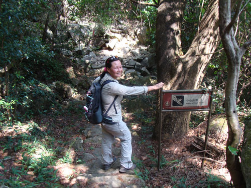 The stream entrance is a few step behind this warning sign.
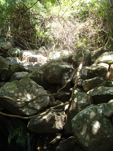 Looks like the stream was sealed with roots and branch. Just be persistent, you will get through it.
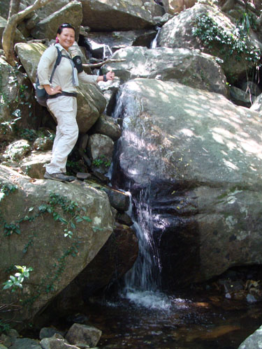 Still inside the forest. There is some water dripping on the rocks. It is the "biggest" water pool so far.
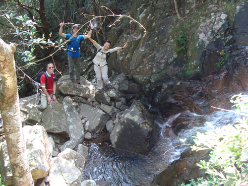
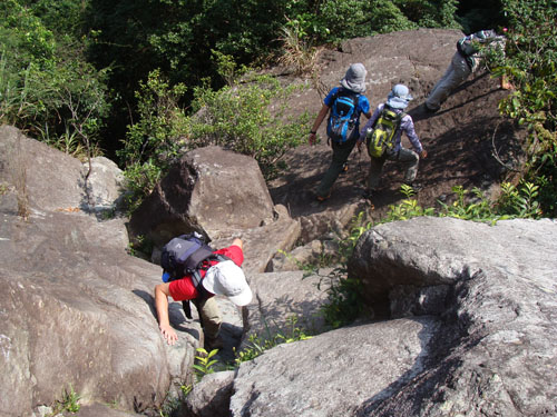 We are leaving the forest. Start climbing on relatively exposed rocks.
 Here you will find a number ribbons on your right indicating a possible exit. It is however, you will find this exit path leading you to some heavy bushes. My recommendation is keep moving along the stream, a better exit is not far away.
 Here we have an exit on the left. This exit will bring you to the Rock Forest and the main hiking path.