
Sponsors: ♦ Wu Style Taichi (吳家太極拳) ♦
About us
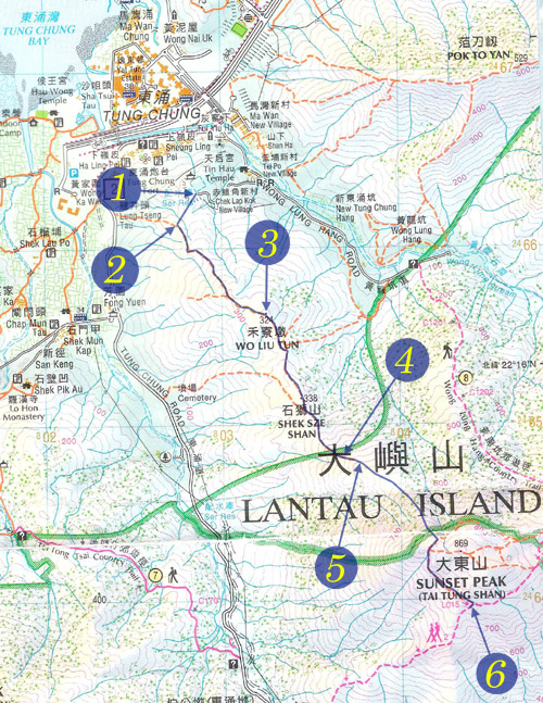
HK intro
Easy Walk
River
Hiking
Coastine
Caving
Overseas
Gallery
Join us
Hiking tips
Other sites
Publicity
Contact us
Outdoor Doctor
FaceBook Group
Order FREE HK Travel Brochure!
Visitors
since April 2000
Wo Liu Tun (禾寮墩,石獅山)
Difficulty:

Last Visit: 17 Apr 2011
Lantau
Trip DescriptionThis is a pleasant trail but the weather was not quite stable when we visited it. There was rain in the later part of the trip. We would have taken much more pictures if the weather had been better. The route is easy to follow. It goes from nearly sea level to Sunset Peak, so there are quite of up hill as cardiopulmonary exercise. |
Location 1: Altitude 100MThis is the entrance of the route. It is just next to a water storage facility.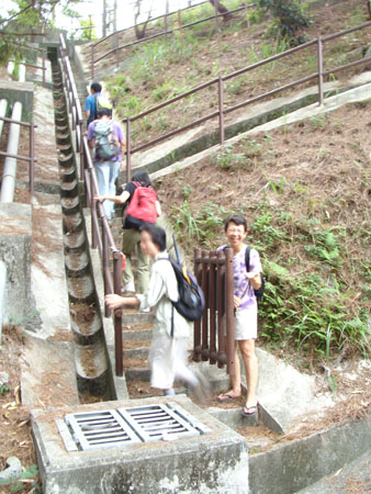 |
Location 2: Altitude 125M
|
Location 3: Altitude 324MThis is the top of Wo Liu Tun (禾寮墩).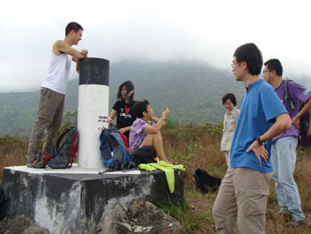 |
Location 4: Altitude 455M
|
Location 5: Altitude 505M
|
Location 6: Altitude 770MWe were back to Phoentix Trail in heavy mist just before the Amber rainstorm. Lucky us.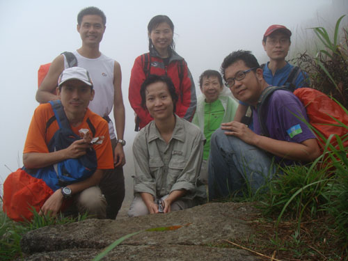
|


|
 The concrete path evetually led us to a regular muddy hiking trail.
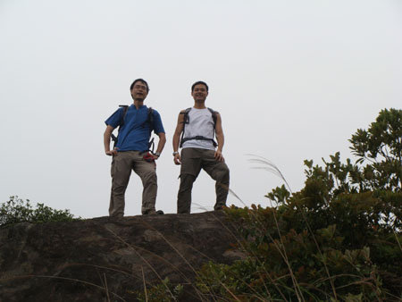 A good rocky platform for taking rest.
 Although it took quite a bit of energy to scale uo, we were all very happy. From here onwards, the trail disappears on the map. The trail is actually still very visible on mountain. The climb is also getting steep. It was pity that it started showering so we could not take pictures on this uphill slope.