
Sponsors: ♦ Wu Style Taichi (吳家太極拳) ♦
About us
HK intro
Easy Walk
River
Hiking
Coastine
Caving
Overseas
Gallery
Join us
Hiking tips
Other sites
Publicity
Contact us
Outdoor Doctor
FaceBook Group
Order FREE HK Travel Brochure!
Visitors
since April 2000
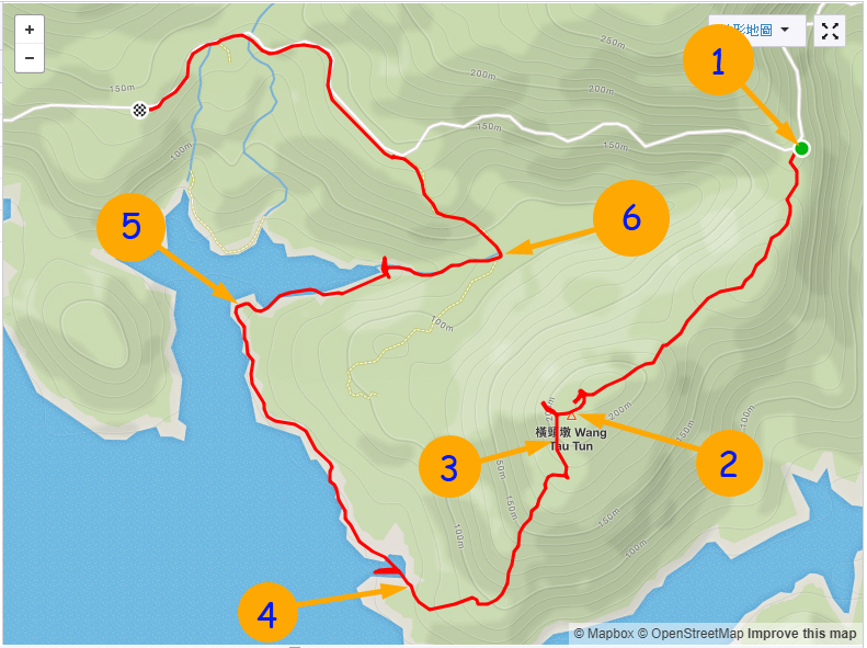
Wang Tau Tun (橫頭墩)
Difficulty:

Last Visit: 3rd Jun 2018
NT East
Trip Description
We started from San Wan Road. Wang Tau Tun (橫頭墩) is small hill on the northern part of High Land Reservoir. The uphill track of Wang Tau Tun is quite easy to follow, however the downhill track is very confusing and is very hard to navigate. There are some very old ribbons hanging along very sparingly. You can easily miss them if you are not attentive enough. Even if you can locate all old ribbons, the overgrown can easily mislead you. I gave this route 3 stars just because of the downhill portion of Wang Tau Tun (橫頭墩). In fact, I really don't recommend any average hikers to attempt this route lest they should get lost.
| ||
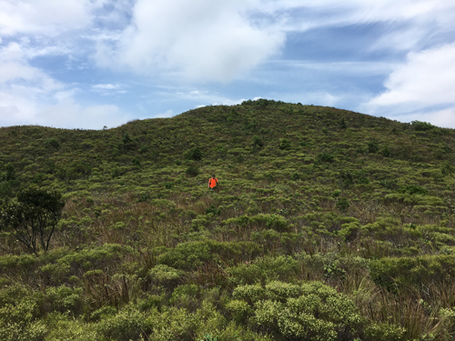
Location 1: Altitude 175M
| ||
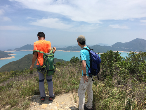
Location 2: Altitude 223M
| ||
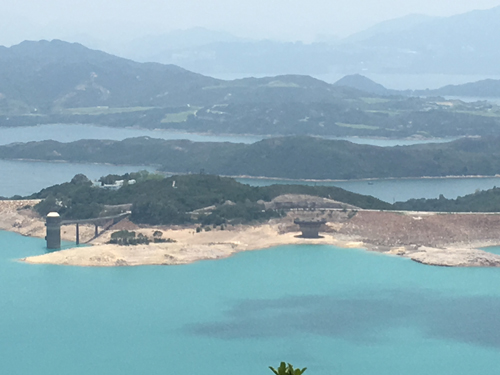
Location 3: Altitude 197M
| ||
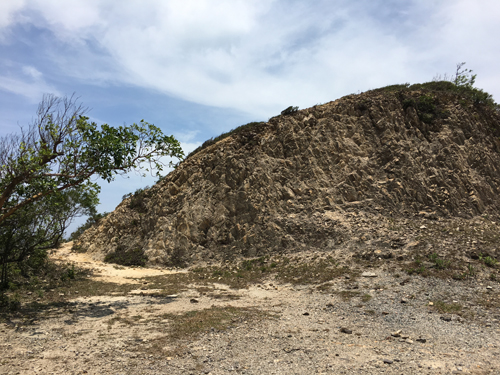
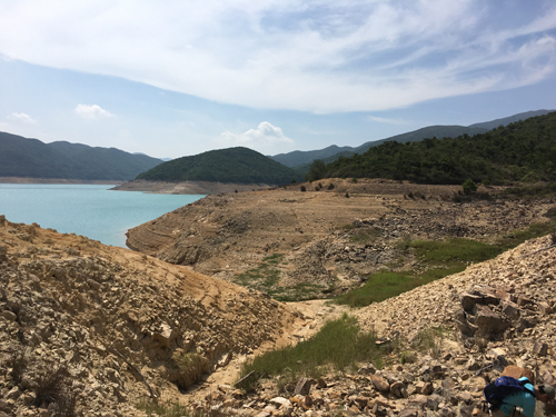
Location 4: Altitude 67M
It is supposed to be covered by water but it is now covered by cracks. | ||
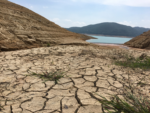
Location 5: Altitude 57M
| ||
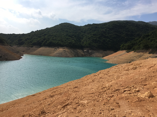
Location 6: Altitude 83M
| ||


|
 Edging carefully along the "coastline".
 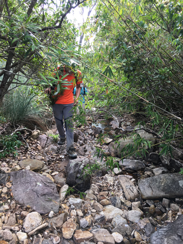 The stream was practically dried out. Simon was actually walking on the river bed.