Trip Description
Twist Creek (彎曲坑) is actually a very small stream but it is quite dry most of the year. The route is rather short but packed with challenges: climbing big rocks, moving on rock rivers, overcoming steep walls, pushing forwards in forest, etc. There are ribbons hanging along the route, it shall be rather easy to follow. We are supposed to visit the Altar (仙人點將台) near the end of the route but we somehow missed it. We believe the Altar is on the left side of the track but we inadvertently moved along the creek straight up until it finally ends.
|
Location 1: Altitude 155M
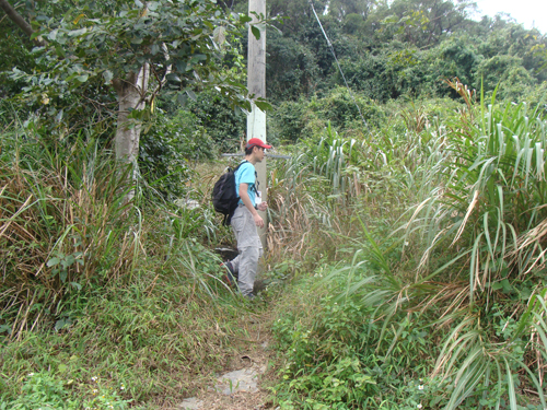 Here is the narrow cemented path leading to the entrance of the track. It is hidden behind some overgrown. Here is the narrow cemented path leading to the entrance of the track. It is hidden behind some overgrown.
|
Location 2: Altitude 180M
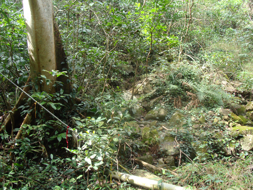 What is it?
Yes, it is the entrance. Many ribbons are hanging there, you cannot miss it.
|
Location 3: Altitude 250M
 Hopping from big rock to big rock inside the forest.
|
Location 4: Altitude 295M
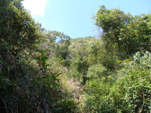 Tall trees gradually subside, clear sky shows up. We are about to get to the rock river.
|
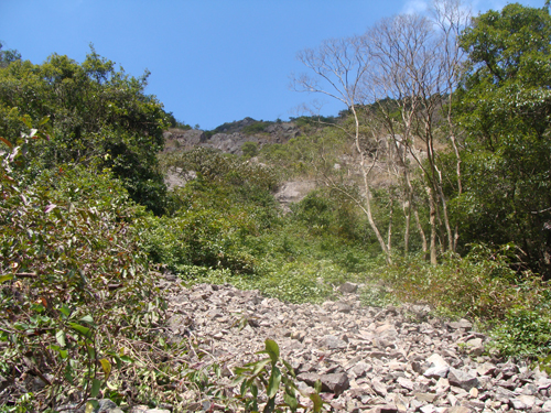
Location 5: Altitude 325M
| This rock river is not very long but very exciting. The rocks here are relatively small. Everyone of them are ready to slip. Every step was a challenge. Don't hike along a vertical-line formation lest the hiker in front of you should trigger a falling rock. |
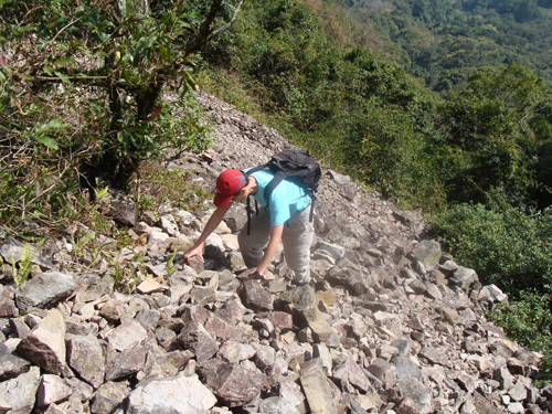 |
| Beware of sliding rocks. If you are a first-timer of rock river, it is a little bit scary. |
 |
|
Location 6: Altitude 340M
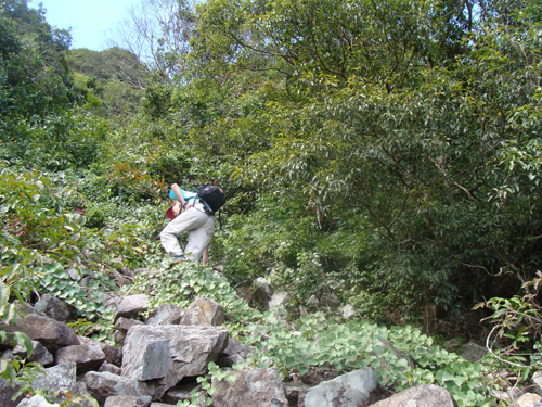 At this altitude, we moved leftwards to enter to the upper portion of the rock river.
|
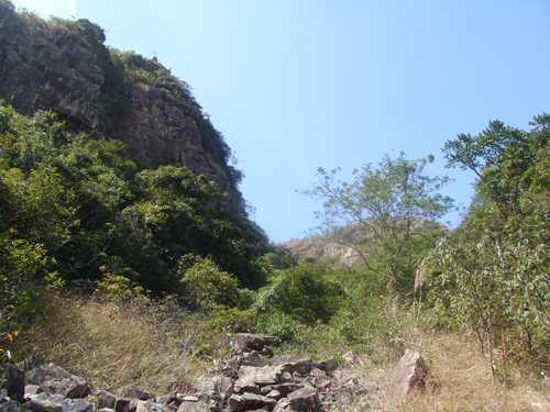
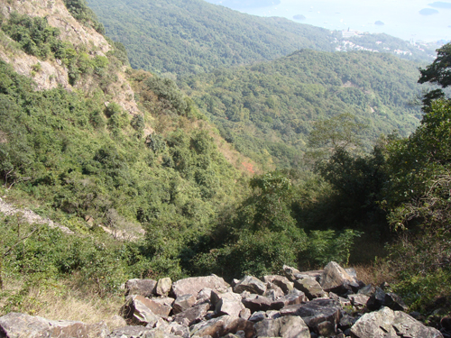
Location 7: Altitude 360M
| The upper rock river's rocks are slightly bigger and is more manageable. We can take a rest here and enjoy the tranquility of the wilderness. |
 |
|
 |
|
Location 8: Altitude 460M
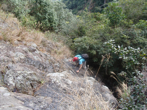 Besides the rock river, this rock wall is also quite a challenging climb.
I think the Altar (仙人點將台) is very close to this location but we somehow missed it.
|
Location 9: Altitude 520M
 We left the creek around 500M and moved to the steep grassy hillside on the right. We reached the hiking trail before long.
|


|

