
Sponsors: ♦ Wu Style Taichi (吳家太極拳) ♦
About us
HK intro
Easy Walk
River
Hiking
Coastine
Caving
Overseas
Gallery
Join us
Hiking tips
Other sites
Publicity
Contact us
Outdoor Doctor
FaceBook Group
Order FREE HK Travel Brochure!
Visitors
since April 2000
Tin Mei Shan(田尾山) -> Tai Cham Koi (大枕蓋) -> Tsak Yue Wu(鯽魚湖)
Difficulty:
Last Visit: 25 Dec 2006
NT East
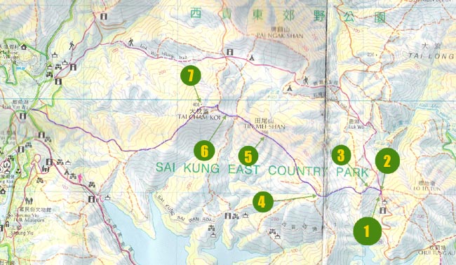
Trip Description
|
Location 1: Altitude 135M
|
Location 2: Altitude 155M
|
Location 3: Altitude 200M
|
Location 4: Altitude 300M
|
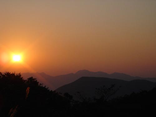
Location 5: Altitude 366MWe are on the top of Tin Mei Shan. There are some haze and whistling wind. |
Location 6: Altitude 340M
|
Location 7: Altitude 408M
|


|
 This route is rather easy even though there are some slippery slopes. The view is very good because Tai Cham Koi is the tallest hill in its vicinity. It is a good route for a relaxing afternoon. Easy transportation and unbeatable view.
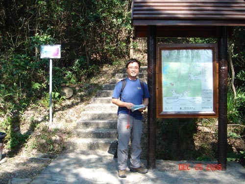 This is the starting point which is right on the Sai Kung Sai Wan Road.
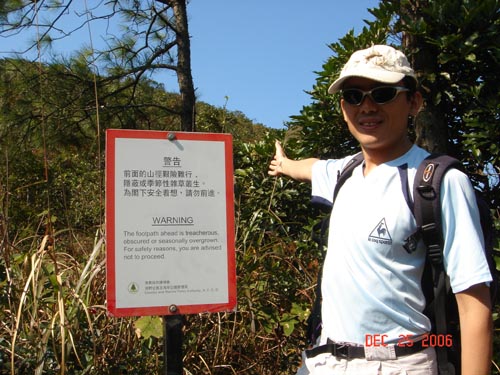 After some steps, we need to turn left to leave the Luk Wu Hiking Trail.
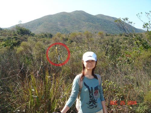 At some point, the foot path look pretty confusing. Don't worry, just following ribbons (circled in the picture) to head towards the direction of Tin Mei Shan.
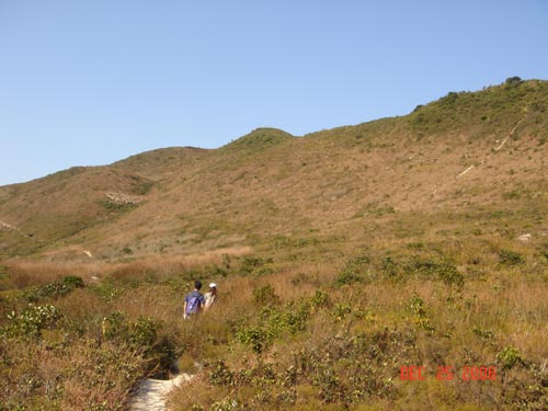 We are now in the south heel of Tin Mei Shan. The paths on left and right are both okay.
 Moving through bushes on the way to Tai Cham Koi top.
 On the top of Tai Cham Koi.