
Sponsors: ♦ Wu Style Taichi (吳家太極拳) ♦
About us
HK intro
Easy Walk
River
Hiking
Coastine
Caving
Overseas
Gallery
Join us
Hiking tips
Other sites
Publicity
Contact us
Outdoor Doctor
FaceBook Group
Order FREE HK Travel Brochure!
Visitors
since April 2000
Tai Om Shan (大菴山) => 588
Difficulty:

Last Visit: 19 Oct 2014
NT North
Trip DescriptionThis route cover Tai Om Shan and 588. Although most of the uphill journey is on the ridge, path below 500M are very bushy. Some portions are infested with thick bushes making navigation difficult. Some portions are cutting inside a forest. Guiding ribbons are sparsely distributed, you have to be very careful in moving along to avoid getting struck. |
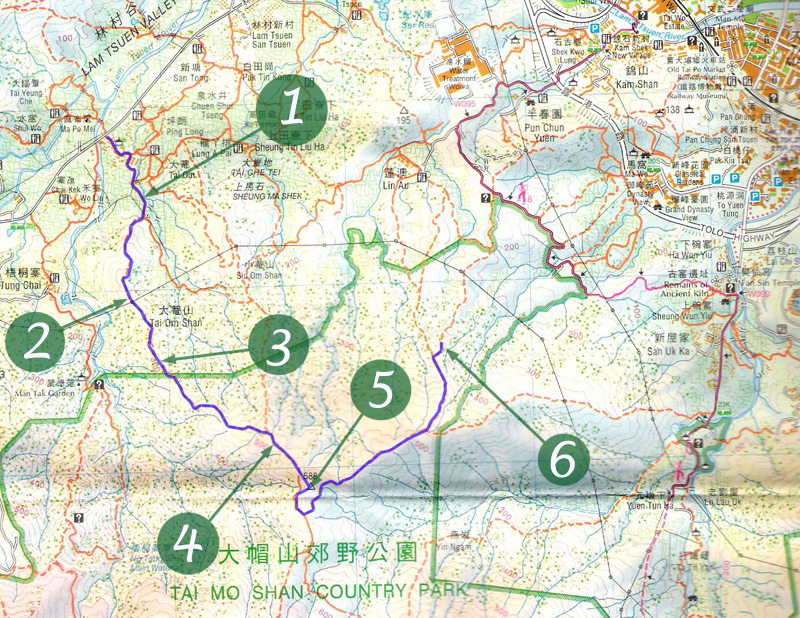
Location 1: Altitude 100M
|
Location 2: Altitude 230M
|
Location 3: Altitude 300M
|
Location 4: Altitude 520M
|
Location 5: Altitude 588M
|
Location 6: Altitude 305M
|


|
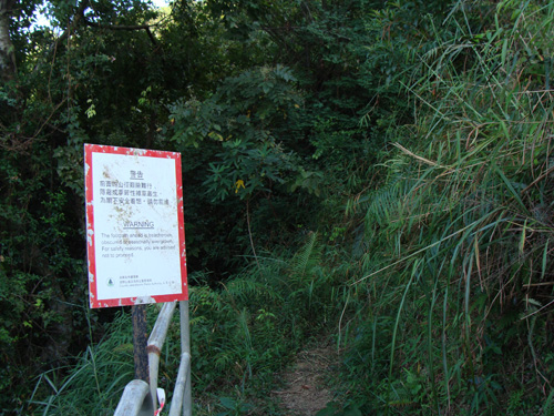
 This is the starting point, we are about to move into the forest. The muddy path ahead will lead you to some tombs. You can continue the journey with a faint footpath on the right of the tombs. There is a hanging ribbon marking the exact position of the footpath.
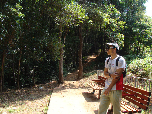
 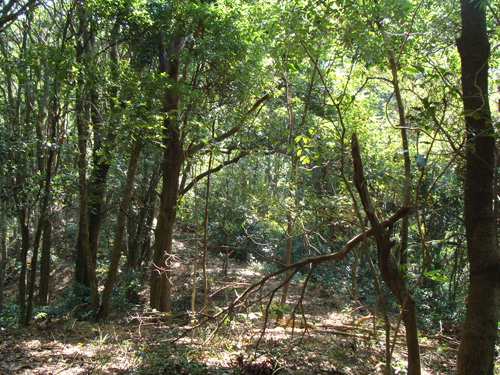 This part of the forest is relatively comfortable, no heavy blocking bushes.
 Strong man trekking up among trees.
 We have finally left the bush behind. Views and path are cleared up. What a good day: blue sky + white clouds
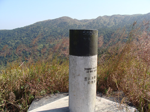 This is 588 mountain top.
 The descend route is slightly better. It is easier to follow. At this point, the muddy route becomes a cemented path. Just follow it, you will get back to the town with ease.