
Sponsors: ♦ Wu Style Taichi (吳家太極拳) ♦
About us
HK intro
Easy Walk
River
Hiking
Coastine
Caving
Overseas
Gallery
Join us
Hiking tips
Other sites
Publicity
Contact us
Outdoor Doctor
FaceBook Group
Order FREE HK Travel Brochure!
Visitors
since April 2000
Tai Mong Tsai(大網仔) to Kei Ling Ha (企嶺下)
Difficulty:

Last Visit: 29 Oct 2017
NT East
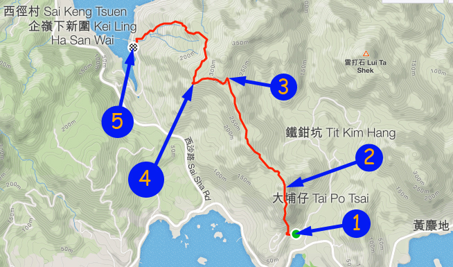
Trip DescriptionThis route is not very common. The hill we climbed does not even has a name. The countryside map only indicates its height as 240M, no name at all. This route is quite enjoyable. Entrance is easy to locate, but it is a bit bushy below 260M. | ||||
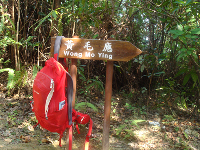
Location 1: Altitude 60M
| ||||
Location 2: Altitude 240M
| ||||
Location 3: Altitude 285M
| ||||
Location 5: Altitude 12M
| ||||


|
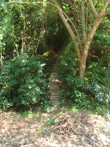 Here is the starting point where you can see a nice stair case.
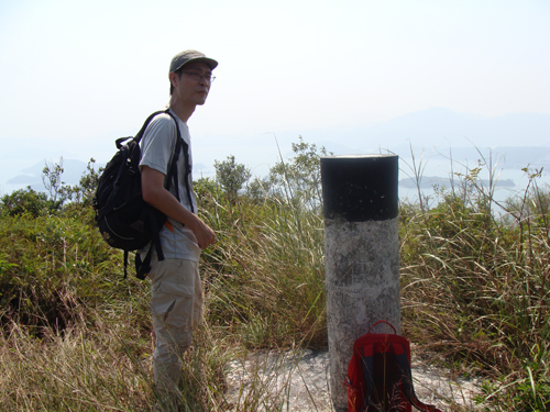 This is the only trigonometrical station on this route.
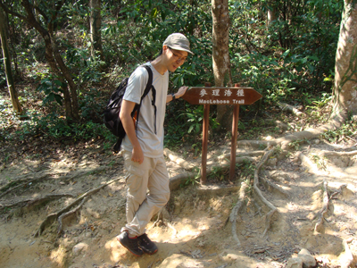
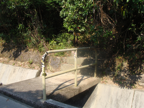 After some non-stop descend, we finally left the hiking path and arrived at the paved road in Kei Ling Ha (企嶺下).