
Sponsors: ♦ Wu Style Taichi (吳家太極拳) ♦
About us
HK intro
Easy Walk
River
Hiking
Coastine
Caving
Overseas
Gallery
Join us
Hiking tips
Other sites
Publicity
Contact us
Outdoor Doctor
FaceBook Group
Order FREE HK Travel Brochure!
Visitors
since April 2000
Shui Chuen O (水泉奧)
Difficulty:

Last Visit: 14 Apr 2013
NT Middle
Trip Description
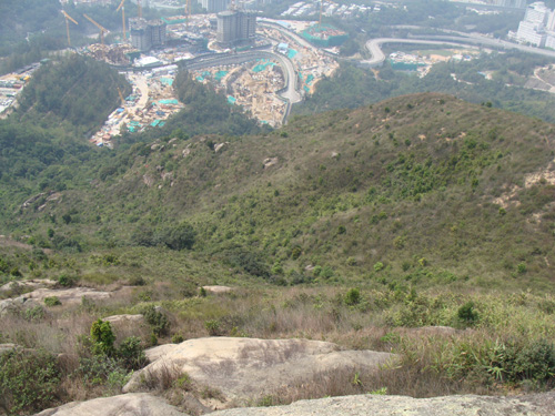
 If you wake up late and want some exercise near centre New Territories, this would be one of your pick. The path is pretty obvious and yet very few visitors. It got quite a bit of uphill to ensure some cardio exercise. However, the path shown on country-side map is not very accessible, please follow our direction described below.
Some hikers will also cover Man Tau Tun (饅頭墩) on the same day, but we were a bit hurry. Next time. | ||||
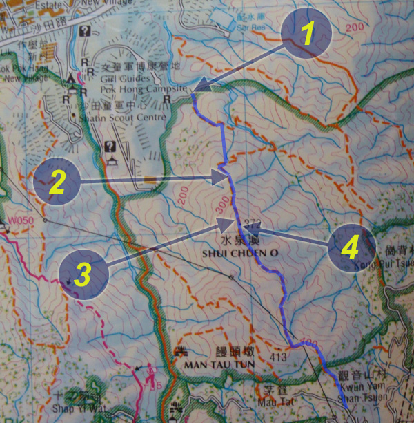
Location 1: Altitude 100M
| ||||
Location 2: Altitude 270M
| ||||
Location 3: Altitude 360M
| ||||
Location 4: Altitude 372M
| ||||


|
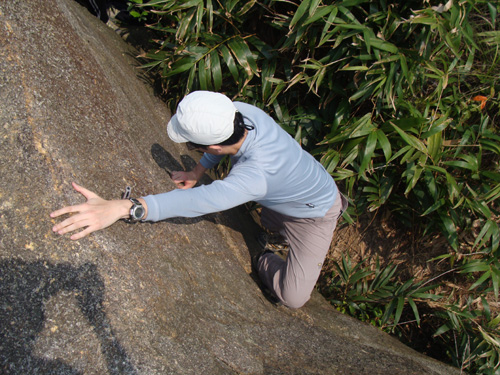
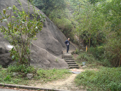 This is the entrance. At about 160M, you will see a path on your right with many ribbons. This path is not shown in the government countryside map but it is actually the path for Shui Chuen O hill.

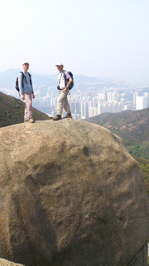
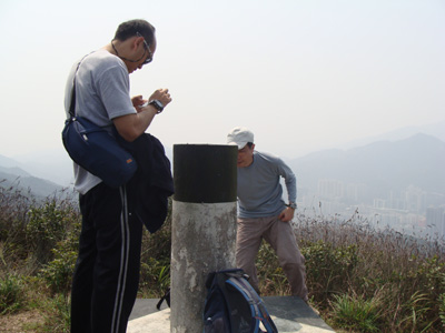 Here is the highest point of the short trip. Have fun!