
Sponsors: ♦ Wu Style Taichi (吳家太極拳) ♦
About us
HK intro
Easy Walk
River
Hiking
Coastine
Caving
Overseas
Gallery
Join us
Hiking tips
Other sites
Publicity
Contact us
Outdoor Doctor
FaceBook Group
Order FREE HK Travel Brochure!
Visitors
since April 2000
Lion Tail Ridge(獅尾脊)
Difficulty:

Last Visit: 9 Apr 2012
NT Middle
Trip Description
| ||||
Location 1: Altitude 145M
| ||||
Location 2: Altitude 145M
| ||||
Location 3: Altitude 215M
| ||||
Location 4: Altitude 250M
| ||||
Location 5: Altitude 260MThis pile of big rocks are dubbed "Sky Ladder (天梯)". The name is a little bit exaggerating. The rocky "ladder" is moderately steep but it is not long at all. It is fun to climb on the Sky Ladder. If you are not interested in the ladder at all, you can by-pass it on your right.
| ||||
Location 6: Altitude 415M
| ||||
Location 7: Altitude 495M
| ||||
Location 8: Altitude 480M
| ||||
Location 9: Altitude 465M
| ||||


|
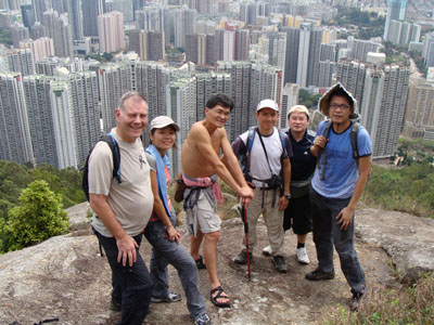 This is a south-eastern hiking trail leading to Lion Rock (獅子山). This route is short and close to the city but it still has very good scenery. This route is not very mediocre, it takes visitors some climbing. It is very good for a half-day exercise.
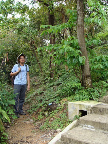 This the starting point of our trip. It is an footpath branchs off from a cemented staircase.
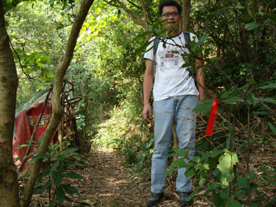 After a while you will find quite a bit of red ribbons showing you the right way. The path starts to go up here.
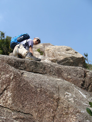
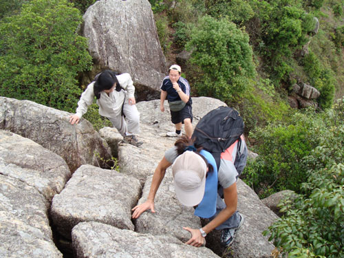
 The trail is getting interesting, you have to overcome some big rocks.
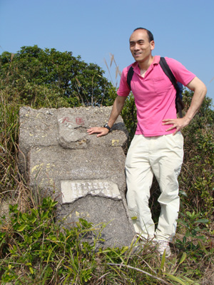 Here is a rock dubbed Sky Horse Rock (天馬石).
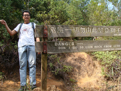
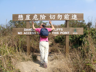 The route behind this big sign is exactly where we are coming from.
Now we meet the main wide hiking path which leads you to Maclehose Trail comfortably.
The route behind this big sign is exactly where we are coming from.
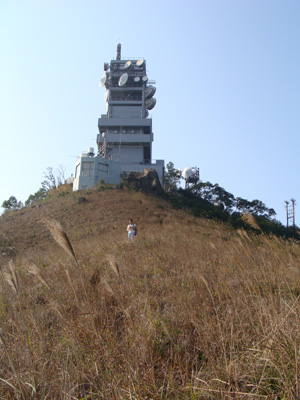
Now we meet the main wide hiking path which leads you to Maclehose Trail comfortably. After taking a tea-break in Shatin Pass we proceed to the short Tsz Wan Ridge (慈雲脊) where you can find a ATV transmission station. This guy is now moving away from the transmission station.
 The path descending from the transmission tower is slightly concealed in soft grass. Very soon you will reach concrete road for exit.