Trip Description
This is a very enjoyable hike. This is not a very popular route, it was not shown in country side map. And yet, the route is easy to find, easy to follow with good view, interesting rocks and breeze. At the time of this writing, there is no forbidding bushes along the path.
There are three hills name after animal near Tai O. They are Elecphant Hill (Cheung Shan), Lion Hill and Tiger Hill. This route will cover both Elephant Hill and Lion Hill. Tiger Hill the lowest among the three.
To get to the Lion Hill from Tai O Road, there are two options. We took the south path which is more gentle. Another one is on the South West side of Lion Hill, this option is steeper.
|
Location 1: Altitude 40M
| This is the entrance, just follow the stairs. It is located at the Ling Yan Monastery bus station. Very easy to find. | 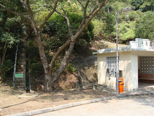 |
| When you get to the top of the stair case, make a 90 degree right turn to hiking path. | 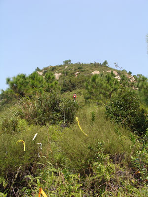 |
|
Location 2: Altitude 110M
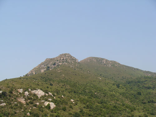 This view is lovely. The hill on the right is Lion Hill.
|
Location 3: Altitude 200M
| This is the Chicken rock. You can see the sharp 'beak'. | 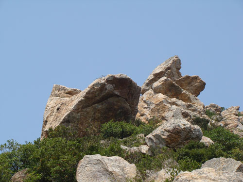 |
| One the far left side of the Chicken Rock is the Dog Rock. It does not look like a dog from this angle. |  |
| This is the rock pile behind the Chicken Rock. Climbing up the rock pile is fun. Good view and good breeze. |  |
|
Location 4: Altitude 360M
| This is Elephant Hill. | 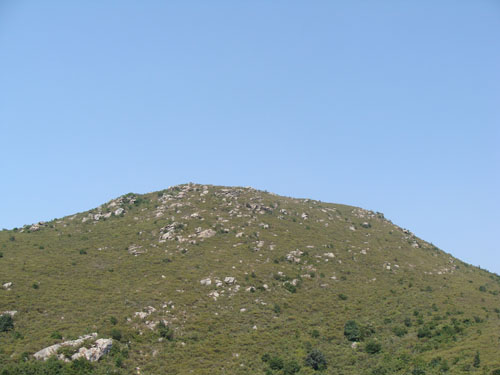 |
| On the way to Elephant Hill, we encountered a rectangular rock planted vertically in the soil. The top side has been inscribed with some sort of symbols. The symbols somehow do not resemeble number, English and Chinese. What are they??? | 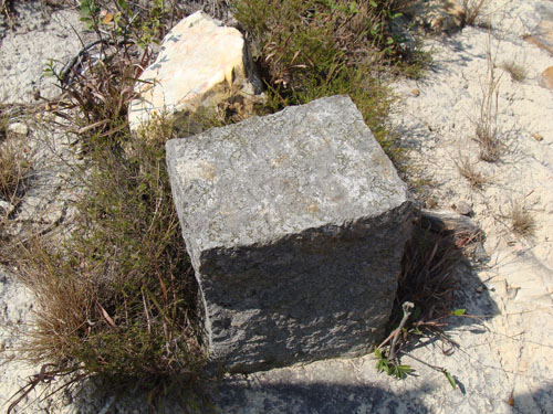 |
|
Location 5: Altitude 315M
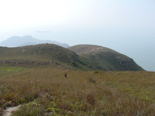 Walking down in hill, leaving Elephant Hill to Tai O.
|
Location 6: Altitude 185M
 Want to fly.
|
Location 7: Altitude 85M
 We were about to reach the main road.
|


|

