Trip Description
We seldom explore outlying islands. Let's try Lamma Island this time. We are checking out southern Lamma Island this time. There is obvious path that goes from Sok Kwn Wan to Mt Stenhouse. The portion from Mt Stenhouse to the shore is not too straight forward, but it is still manageable. When you start leaving the shore, the path becomes tricky. It really takes a bit of trial-and-error. Luckily, the bushes were not too formidable.
When we visited the route, there were a recent hill fire. Some bushes were burnt away making the path more visible. When the plants refurnish, the navigation effort may triples.
|
Location 1: Altitude 230M
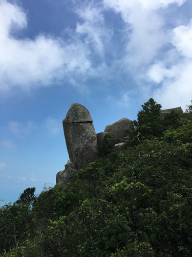
Does this upward-pointing rock look like something familiar?
|
Location 2: Altitude 317M
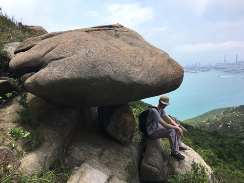
Today is burning hot. This shelter is ideal for small team like us.
|
Location 3: Altitude 360M
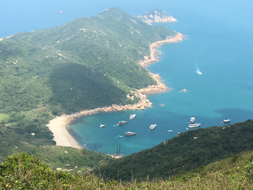
We reached Mt Stenhouse (山地塘). This beach is Sham Wan. What a view !!!
|
Location 4: Altitude 250M
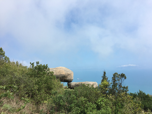
This is Plank Rock. You can climb over it and have some fun.
|
Location 5: Altitude 219M
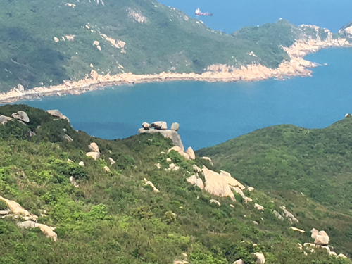 On the nearby ridge, we found a few rocks standing on a nearly flat rocky platform. Some hikers called this "Altar".
|
Location 6: Altitude 29M
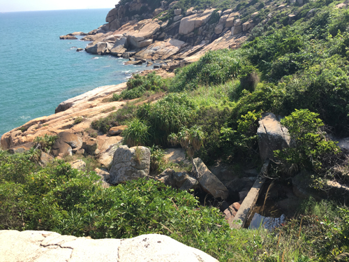 We finally reached the stream and the shore. We have to cross this stream to continue the journey. The path become pretty vague after crossing the stream. And yet you may find a few isolated ribbons to bring you on track.
|
Location 7: Altitude 171M
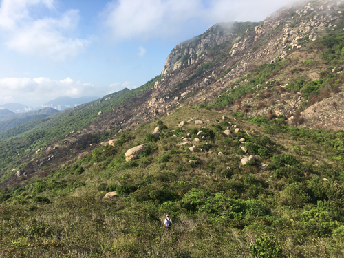 Could you see a guy pushing through the bushes towards the big cliff?
You should see a patch of land that have been burnt away beneath the cliff.
|
Location 8: Altitude 43M
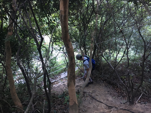 This route finally ends in some backyard of a village.
|


|

