
Sponsors: ♦ Wu Style Taichi (吳家太極拳) ♦
About us
HK intro
Easy Walk
River
Hiking
Coastine
Caving
Overseas
Gallery
Join us
Hiking tips
Other sites
Publicity
Contact us
Outdoor Doctor
FaceBook Group
Order FREE HK Travel Brochure!
Visitors
since April 2000
Elephant Hill (象山)
Difficulty:

Last Visit: 26 Aug 2012
Lantau
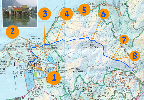
Trip DescriptionElephant Hill, Lion Hill and Tiger Hill are the three hills in northern Lantau named after animals. This route is not dangerous, you don't have to overcome sheer cliffs. However you have to tackle thick bushes and missing paths. In certain parts, the path is totally gone although you can find some old ribbons unevenly scattered around the route. Some ribbons are very far away from each other. People with little bush-dashing experience may get lost quite easily. |
Location 1: Altitude 5M
|
Location 2: Altitude 5M
|
Location 3: Altitude 40M
|
Location 4: Altitude 185M
|
Location 5: Altitude 380M
|
Location 6: Altitude 420M
|
Location 7: Altitude 405M
|
Location 8: Altitude 390MThe video here showed the route with tall bushes, but let me assure you the most tedious part was not recorded in the video.When you are about to reach concrete road, the path ends up on the upper edge of a huge landslide site. I would suggest you not to try to scale down this landslide cave. You should follow the ribbons on the right which will lead you to Sum Wat Road safely. |


|
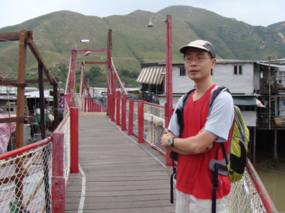 Starting from the Tai O bus stop, we have to first cross this 新基大橋.
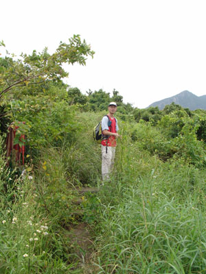 Start trekking up.
 This is an old land mark indicating the boundary of colony Hong Kong and Mainland China in late Qing Dynasty.
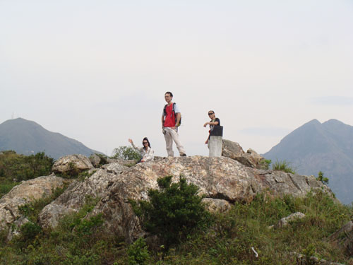
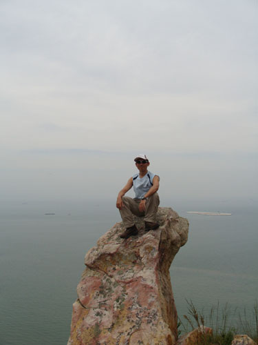 What a rock! Becareful when you climb up this.
 Come on! Keep walking.
 This is the top of Elephant Hill (象山).
 From Elephant Hill peak, you have to move down to a valley before you arrive at another peak. When you descend to around 350M, the bush become very punishing. I can say the path is totally vanished.