
Sponsors: ♦ Wu Style Taichi (吳家太極拳) ♦
About us
HK intro
Easy Walk
River
Hiking
Coastine
Caving
Overseas
Gallery
Join us
Hiking tips
Other sites
Publicity
Contact us
Outdoor Doctor
FaceBook Group
Order FREE HK Travel Brochure!
Visitors
since April 2000
Deer Red Stream (鹿赤溪) and Jin Shan Wei (金山尾)
Difficulty:

Last Visit: 17 June 2018
NT East
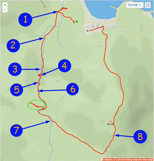
Trip DescriptionWe covered Deer Red Stream (鹿赤溪) and Jin Shan Wei (金山尾) today. Deer Red entrance is right on Chek Keng (赤徑), it is very assessable. In rainy seasons, you may able see a big silvery waterfall from Chek Keng (赤徑), that is Deer Red Stream. Deer Red Stream has good rocky cliffs and waterfall but no sizable pools for water fun. The climb is interesting and manageable. After a few waterfalls and cliffs, the stream levels off and run inside forest. Some people choose to quit the stream after finishing all waterfalls and cliffs. For that you can use the path session marked by a green circle in the map, it should bring you back to Chek Keng. That path is quit bushy though. We decided to explore the the upper stream a little bit. There are a few branches on the upper stream. We just follow the branches with most ribbons. That eventually brought us to the path for Jin Shan Wei (金山尾) which is small mountain with rare visitors. The path on Jin Shan Wei (金山尾) is covered with overgrows however the path is still traceable. | ||
Location 1: Altitude 5M
| ||
Location 2: Altitude 13M
| ||
Location 3: Altitude 54M
| ||
Location 4: Altitude 74M
We finally left the second cliff here. It was really deep when you looked back. | ||
Location 5: Altitude 93M
| ||
Location 6: Altitude 116M
| ||
Location 7: Altitude 137M
| ||
Location 8: Altitude 216M
| ||


|
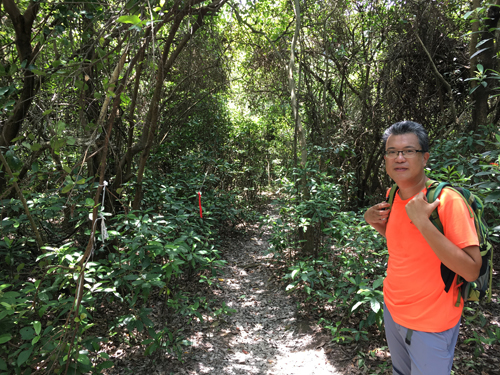 It is the entrance on Chek Keng. A welcoming path lying ahead.
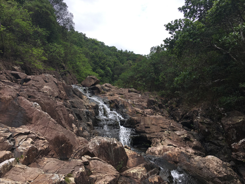
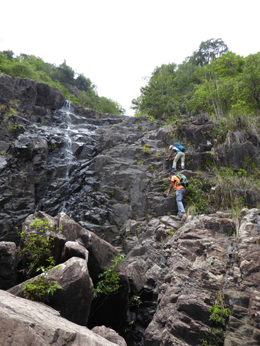 Very soon we met a watery cliff. The right side is completely dry. Interesting climb.
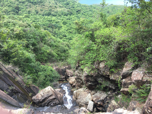
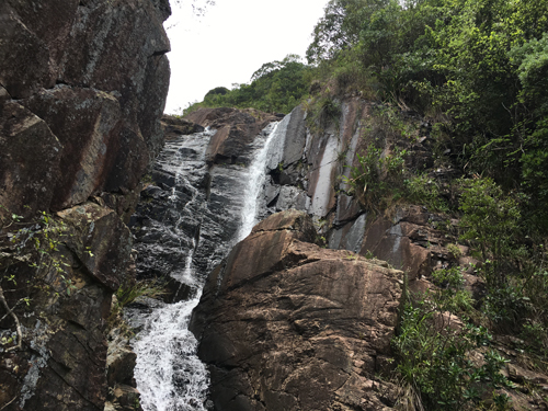 It is another waterfall we saw when we were scaling up the second cliff.
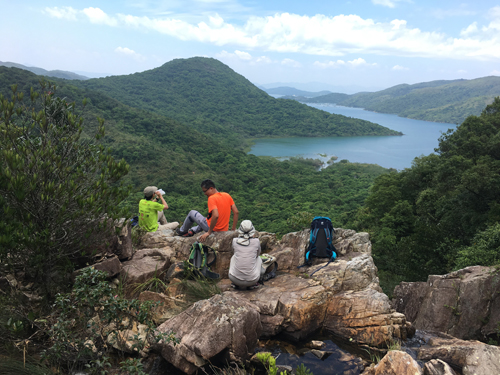 Here is an ideal resting place. It has broad views with cozy rocks. By now, we have finished all challenging climbs in this route with a sense of achievement.
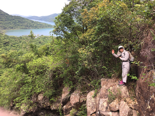
 The climb is getting gentle.
 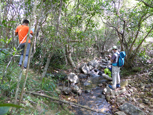 The stream is now running inside a forest. Ribbons are still guiding us through. Here the stream forks into left and right. We decided to take the left with more ribbons and apparently wider footpath. This will bring us to Jin Shan Wei (金山尾).
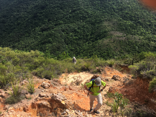 Finally we left the forest and stream behind and trekked to Jin Shan Wei. It has sandy gully there. You will get to the top of Jin Shan Wei. You will eventually get back to Chek Keng after pushing through the overgrows along the path. Right before you arrive Chek Keng, you will found some ruin house and school.