
Sponsors: ♦ Wu Style Taichi (吳家太極拳) ♦
About us
HK intro
Easy Walk
River
Hiking
Coastine
Caving
Overseas
Gallery
Join us
Hiking tips
Other sites
Publicity
Contact us
Outdoor Doctor
FaceBook Group
Order FREE HK Travel Brochure!
Visitors
since April 2000
Ngau Kwo Lo (牛過路) + Mount Hallowes (柦柴山)
Difficulty:

Last Visit: 2 Nov 2014
NT East
Trip Description
This trip is pretty easy and yet very beautiful. It embraces the panorama view of HK North-East sea. Novice may find this trip a little bit exhausting but it is not dangerous at all. The entrance of the trail is in the delta area near Hoi Ha.
| ||||
Location 1: Altitude 0M
| ||||
Location 2: Altitude 55M
| ||||
Location 3: Altitude 160M
| ||||
Location 4: Altitude 215M
| ||||
Location 5: Altitude 350M
| ||||
Location 6: Altitude 335M
| ||||


|
 This is a dried river bed running from your left to right. The trip start right in the opposite river bank.
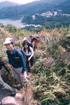 We are walking up.
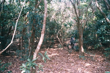 Here the hiking path cuts through a forest with tall trees.
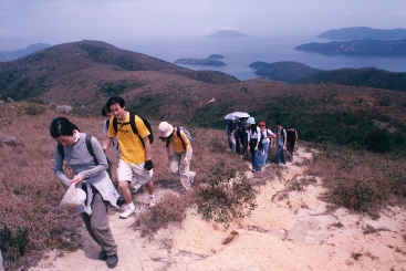
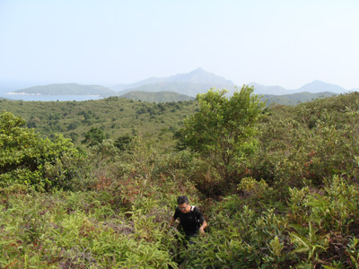
 We are almost on the very perk of Mount Hallowes.
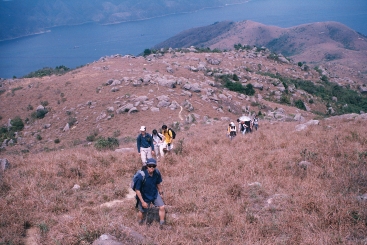
 This picture showed leaving Mount Hallowes in 2004. In 2014, the path is still here but it is infested with stubborn and confusing bush. It does not look so clean like this picture any more.