
Sponsors: ♦ Wu Style Taichi (吳家太極拳) ♦
About us
HK intro
Easy Walk
River
Hiking
Coastine
Caving
Overseas
Gallery
Join us
Hiking tips
Other sites
Publicity
Contact us
Outdoor Doctor
FaceBook Group
Order FREE HK Travel Brochure!
Visitors
since April 2000
Chu Hang to Tai To Yan (竹坑 至 大刀刃)
Difficulty:

Last Visit: 19 May 2013
NT North
Trip DescriptionThis route is not very long but it is quite interesting. There are very few ribbons tied along the route indicating that not many hikers visit this one. I rate this route as 3 stars because of the last 140M (see my comment below). Other than that this path is not very difficult and it gives quite good scenery. There a few very good rock platform for hikers to rest and enjoy. | ||||
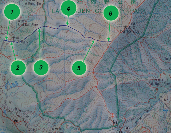
Location 1: Altitude 30M
| ||||
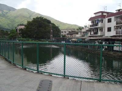
Location 2: Altitude 35M
| ||||
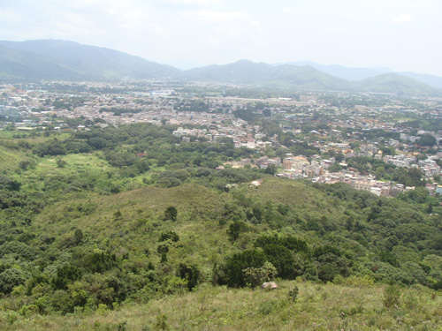
Location 3: Altitude 140M
| ||||
Location 4: Altitude 190M
| ||||
Location 5: Altitude 380M
| ||||
Location 6: Altitude 510M
| ||||


|
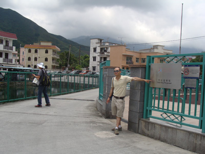
 This is the end of the cement path, the start of the hike. Very soon, you will pass by some tombs. Just keep moving. The uphill path will emerge beyond the tomb cluster.
 The path is covered with dense bush from the entrance to around 105M. The path in the bush is not very clear. Just keep your bearing, you should be able to get through it. This shot is looking back to the bush.
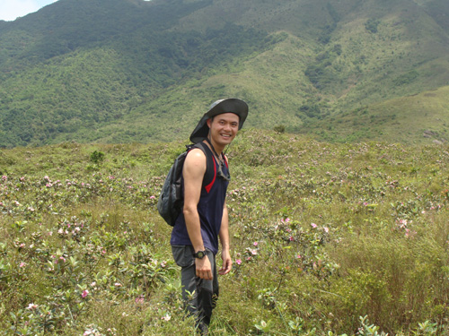 Walking in flowers.
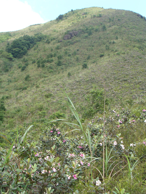 There are small pink flowers (Rose Myrtle) all over the mountain ridge.
 The most demanding part is the route is between 380M and 520M, that is the rear part. The part is as steep as 70~80 degree. It is slippery and is also infested by short thorny plants. There was rain one day before our hike, thus this part is really slippery. A pair of gloves or some cutting devices will be very helpful.