Route Description
This is not a very popular hiking route. Some hikers may use part of the route after visiting Tai Mo Shan (大帽山). This route is relatively easy for experienced hikers. Most of the route has no shelter at all, it is quite punishing in hot summer afternoon.
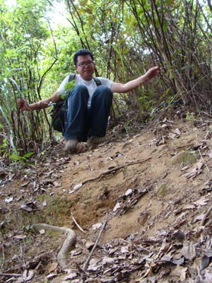
1
90M
This is the entrance behind a village.
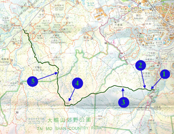
2
140M
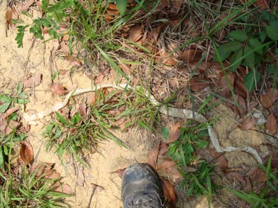
After moving across a local graveyard, Oh! We found a snake skin!
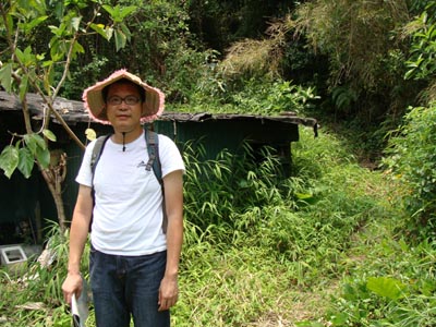
3
330M

We are resting under a power transmission tower which provides certain level of sheltering from the burning sun.
4
588M
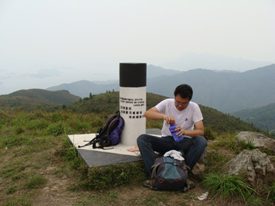
We now reach an anonymous mountain top. We only know it is of 588m high.
5
340M
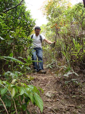
We are moving down a steep path in a jungle.