Route Description
This route is one of the ridges of the Pat Sin Leng (八仙嶺) mountain system. The start point is next to a mini bus terminus which is from TaiPo KCR station. The route comprises quite a lot of steep uphill hike. Although the footpath is narrow and bushy, it is quite clear. You will get exhausted easily but you won't get lost easily. Once you are up on the mountain ridge, all uphill hardship pays off.
1
45M
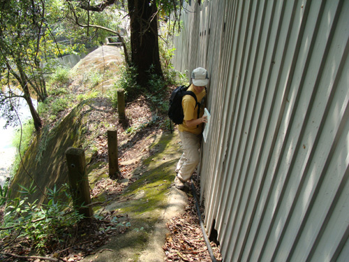
When we visited the route, the entrance was blocked by a construction site. We have to bypass it on the edge of a slope. This may be the most dangerous part of the our trip.
2
105M
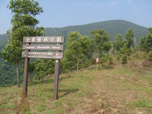
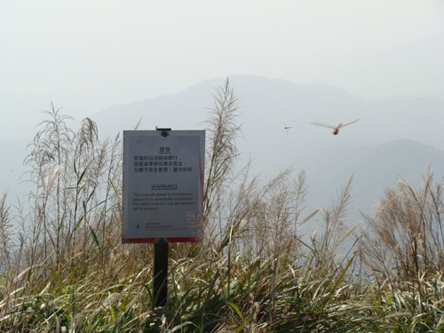
You will see the sign soon after you have overcome the construction site.
3
155M
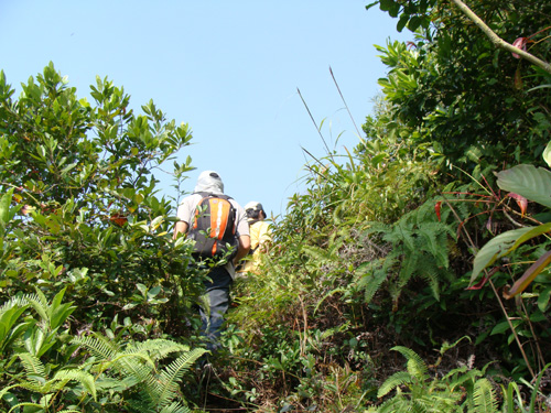
You see, the route is really bushy.
4
285M
It was quite hot.
5
480M

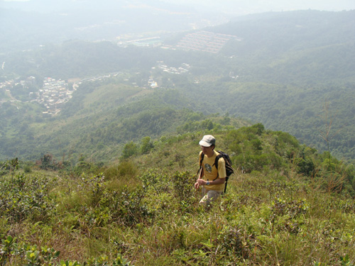
What a wonderful mountain view! Peaceful and respectful.
6
639M
We have finally reached Wong Leng (黃嶺) peak.
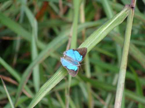
A beautiful butterfly.
We then followed the main hiking route to go to Luk Keng (鹿頸) to enjoy tea time.