Route Description
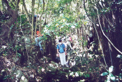
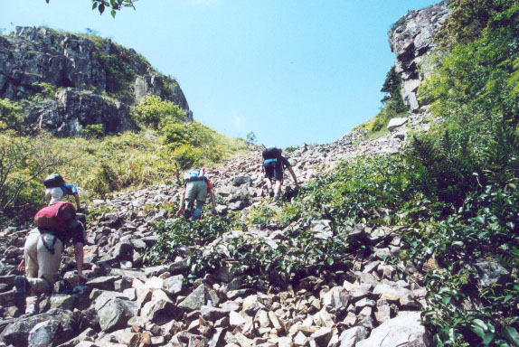
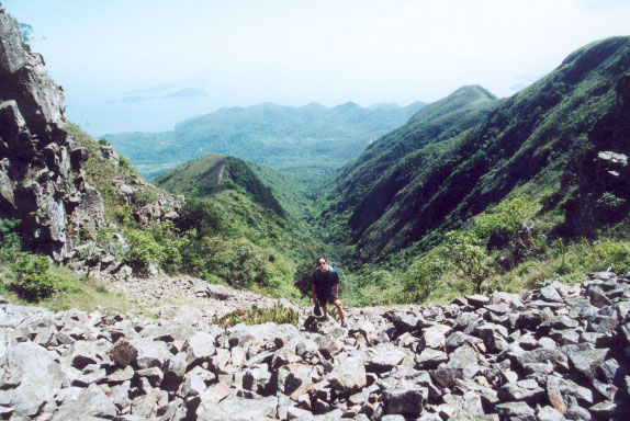
This trip lies in the valley between East Dog Teeth Range and Middle Dog Teeth Range. Although I give it a name of river, it is actually a river of rocks instead of water. The lower portion of the trip is mainly embraced by forest and its profile is ralatively mild. The upper portion exhibits itself in open area with steep rocky profile. The upper portion provides captivating view and bizarre landscape.
Hiking on rock river could be pretty tricky, the rocks may slide. Hikers should avoid hiking along the same line lest the someone set off a falling rock.
1
100M

Here is the starting point of this trip. The entrance lie on Lantau Trail.
2
115M

A few minutes later, you will meet a small cliff which is the first landmark of this trip.
3
200M

This area with tall straight wall is named Wilt Wall Corridor (枯壁廊).
4
355M

This is a view in the forest.
5
410M
![]()
Here you are leaving the forest and starting to challenge the upper rock river in open area.
6
455M

You are now in the middle of rock river, you are totally encircled by jaggy rocks and monolithic cliffs on a steep slope. The greatness of nature is once again showing in front of your very eyes.
7
475M

The upper picture shows what it looks like when you look down from the rock river.

The rock river eventually mingles with grass land which lies in the junction of East Dog Teeth Range and Middle Dog Teeth Range. You can join either Dog Teeth Range for leaving.


