Route Description
This route is not very common. The hill we climbed does not even has a name. The countryside map only indicates its height as 240M, no name at all. This route is quite enjoyable. Entrance is easy to locate, but it is a bit bushy below 260M.
1
60M
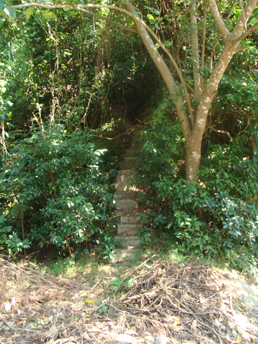
Here is the starting point where you can see a nice stair case.
2
240M
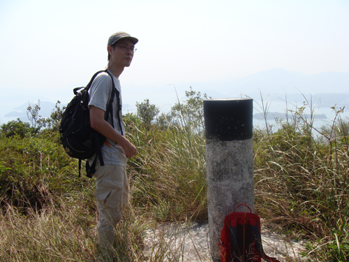
This is the only trigonometrical station on this route.
From 60M to 260M, the route is very bushy and yet is identifiable. There are only a few ribbons along the way, navigation experience is important.
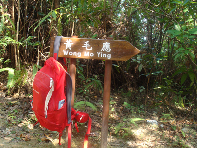
3
285M
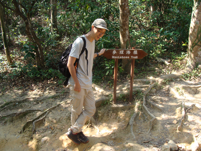
Here we joined Maclehose Trail where you will find two road signs.
4
250M
We followed Maclehose Trail for a while until we reached Location 4 where we decided to leave Maclehose Trail and explore the way to Kei Ling Ha. The muddy path we took is very obvious and very easy to follow.
5
12M
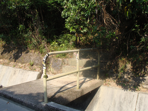
After some non-stop descend, we finally left the hiking path and arrived at the paved road in Kei Ling Ha (企嶺下).