Route Description
Pok To Yan is a medium long ridge runs from Tung Chung towards the centre of Lautau Island. Pok To Yan's ridge is not as sharp as that of Dog Teeth Range. The slope on the west end of Pok To Yan is quite steep and strenuous. There has been some construction activities near the west entrance of Pok To Yan over past decade. Now the west entrance is basically blocked for some sort of slope maintenance. Therefore this time we took the south ridge to get to Pok To Yan.
1
90M
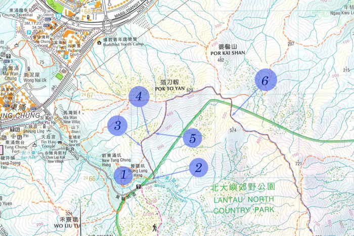
We walked by Wong Lung Hang Pinic Site.
2
90M
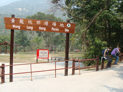
At the end of the Wong Long Hang Road (黃龍坑道), we found an open construction site. The entrance is the flight of stair near the construction site.
3
255M
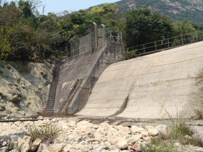
This is the overview of Yellow Dragon River System.
4
325M
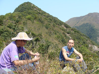
Big guys were resting.
5
360M
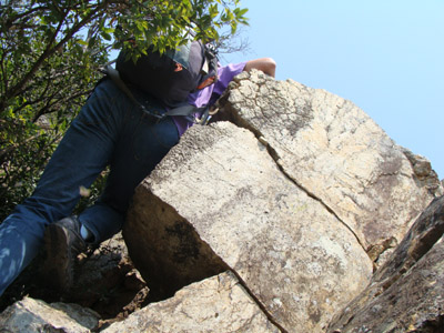
We were confronted by a set of huge rocks.
6
540M
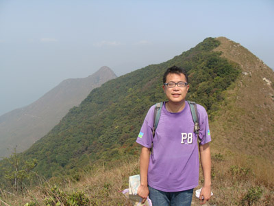
Our hiking leader ...
We then followed the regular hiking path back to Phoenix Trail.