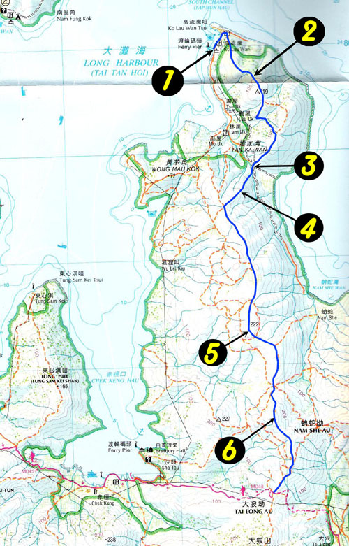
Route Description
The trip starts from Ko Lau Wan (高流灣) to Chekkeng (赤徑) of Maclehose trail. Ko Lau Wan is a small village which can be reached by local ferry. There is no high mountain on the way, the foot path is a bit narrow and brushy. In good weather, a nice blend of sky, cloud, ocean, mountains and islands form an exquisite picture.
1
0M
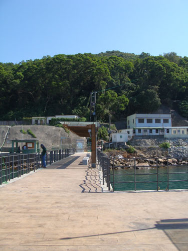
This is, Ko Lau Wan pier (高流灣碼頭),our starting point. We took a ferry from Wong Sek Pier (黃石碼頭) to get to here.
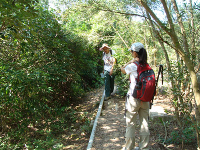
2
70M

The brush is quite dense but not tall. The Island behind is Grass Island(塔門).
3
45M
Here may look a little bit confusing. Don't follow the water pipes. The correct path roughly intersects the water pipes at right angle.
4
105M

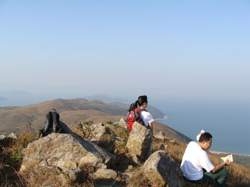
As you moved along the brush, don't forget to check out the open ocean, it is just superb.
5
210M
This is Nam She Tsim (南蛇尖).
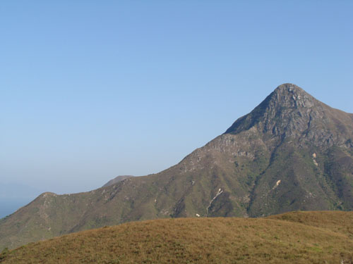
6
270M
This is the highest point of this trip. You can enjoy 360° view after some hardship of getting here. Feel like at the top of the world.
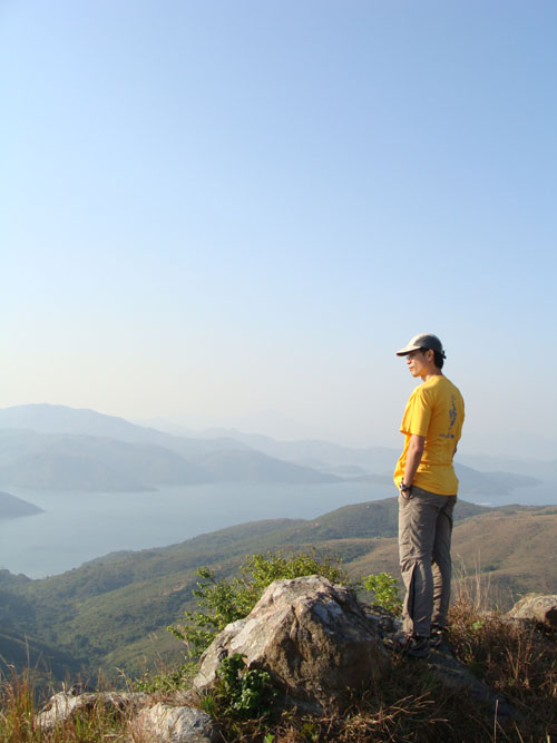
Very COOL oh!