Route Description
This is a short but interesting path on Hong Kong Island. Although this path is not shown in government map, it is quite easy to locate and navigate. The path is mainly running in a forest with tall trees. There is no tangling bushes at the time we visited the route. There are sufficient ribbons to guide you through the path. It is quite steep at certain point but it should be manageable.
1
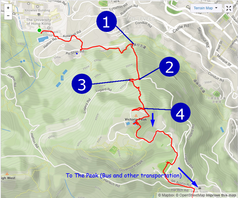
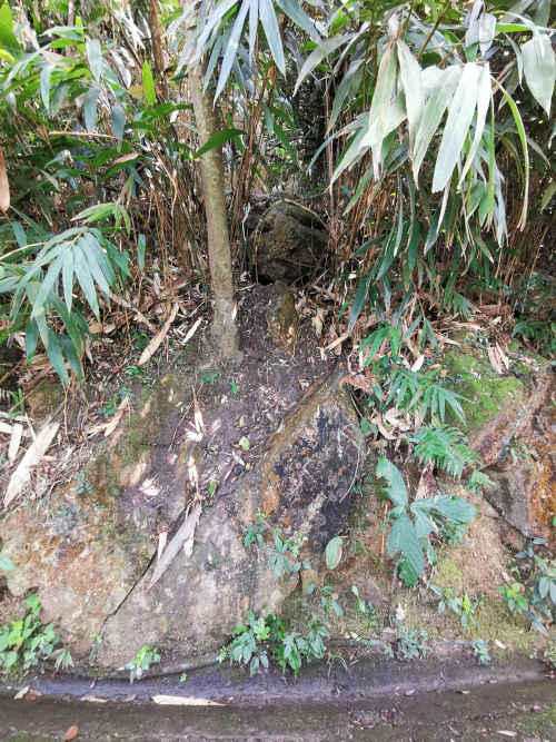
205M
This concrete structure is the starting point.
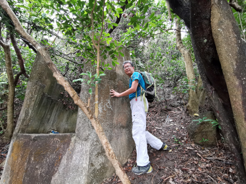
Trekking in the forest. The path seems easy to follow.
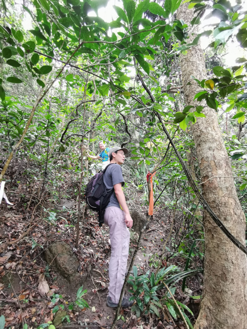
2
400M

We reached Lugard Road (盧押道). The hiking path is running under Lugard Road. You can actual see pedestrians walking above you.
The photographer is the pedestrian in the picture.
Wow, hiker emerged from the outside of Lugard Road!!!
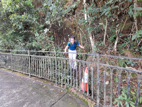
3
400M
The second half of the hike starts on Lugard Road. The starting point is just 20~30M away from the point where we arrived at Lugard Road. The entrance looks grim, however, when you get through those bushes, it is quite accommodating. Certain parts of the route are quite slippery in wet seasons.
4
530M

Finally we left the forest and arrived at a fenced radio station. There give you a very clear HK city view.
Just follow the fence and you will eventually reach a green patch for a good rest. Follow Mt Austin Road, you will get back to the public transportation very soon.