Route Description
This is a very nice mountain range: it is easily accessible by public transport, its ridge provides refreshing views, it is safe for novice hikers. Some country motor cyclists love to spend a day around the mountain. You can easily find the footprint of motor bikes on the ridge. But there is one warning, this trail is totally unsheltered. Under burning summer sun, this trail could be demanding.
This trail has one deficiency: when you're about to finish the trail, you will find a cooking oil factory nearby giving off very awful smell.
1
40M
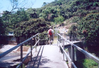
When you drop off on Fan Kam Road (粉錦公路), take a bridge across the river to get to the entrance of the trail.
2
215M
What a beautiful day! The trail looks endless.
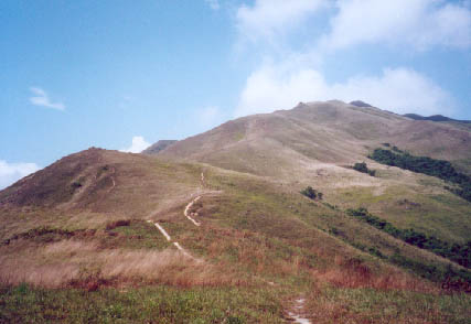
3
310M

Looking closely to the grass, you could tell the wind is blowing very hard from left.
4
540M

These are the traces left by motor cycles.
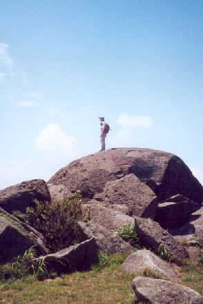
5
585M

Now we are standing on the highest point of Kai Kung Range. This is the Kam Tin view on the south.

This is the Mai Po (米埔) and Ngao Tam Mei (牛潭尾) area on the north.
6
455M
On the other crest, there lay some huge rocks which form a natural platform for enjoying fresh breeze.
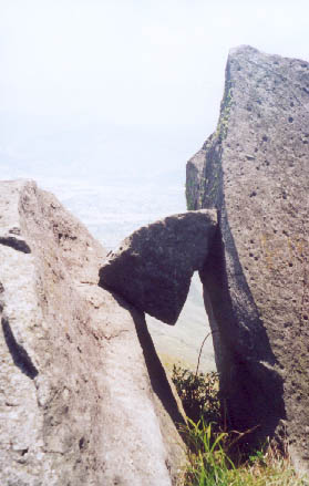
Rock Window.