WunYiu to PingLong, ¸J? ¦Ü ©W®Ô
|
3 May 2009
|
NT North
|
Difficulty:


|

|
Trip Discription
This is not a very popular hiking route. Some hikers may use part of the route after visiting Tai Mo Shan (¤j´U¤s). This route is relatively easy for experienced hikers. Most of the route has no shelter at all, it is quite punishing in hot summer afternoon.
|
Location 1
|
 Altitude: 90M Altitude: 90M
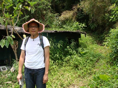
 This is the entrance behind a village. This is the entrance behind a village.
|
|
Location 2
 Altitude: 140M Altitude: 140M
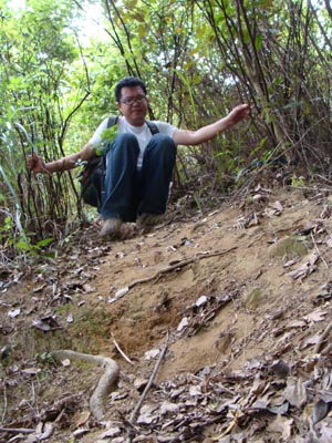
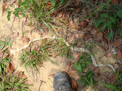
 After moving across a local graveyard, Oh! We found a snake skin!
|
Location 3

 Altitude: 330M Altitude: 330M
 We are resting under a power transmission tower which provides certain level of sheltering from the burning sun.
|
Location 4
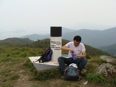
 Altitude: 588M Altitude: 588M
 We now reach an anonymous mountain top. We only know it is of 588m high.
|
Location 5
 Altitude: 340M Altitude: 340M
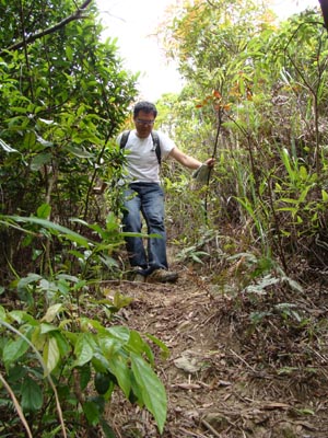
 We are moving down a steep path in a jungle.
|


 Altitude: 140M
 After moving across a local graveyard, Oh! We found a snake skin!
 Altitude: 330M
 We are resting under a power transmission tower which provides certain level of sheltering from the burning sun.
 Altitude: 588M
 We now reach an anonymous mountain top. We only know it is of 588m high.
 Altitude: 340M