Ki Lun Shan (麒麟山), Tai Lo Tian (大羅天), Kai Kung Leng(雞公嶺)
23 March 2008
NT North
Trip Description
This route consists of Ki Lun Shan (麒麟山), Tai Lo Tian (大羅天), Kai Kung Leng(雞公嶺) in northern part fo New Terrritories. The route is not dangerous at all, but it will definitely take you some energy. In Tai Lo Tian area, you will found some relic of trench constructions left by British army. In Kai Kung Leng area, you will find a mountain bikers and paragliders.
Location 1

 Altitude : 60M
Description :
The entrance of is not too obvious, it lies behind some tombs. The mountain behind the tower is Ki Lun Shan (麒麟山).
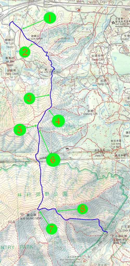
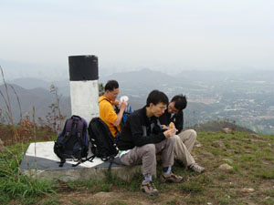
Location 2
Altitude : 222M
Description :
These three guys are now on the top of Ki Lun Shan (麒麟山), the nearer mountain is called Dai Lo Tian whose name is typically not indicated on map.
|
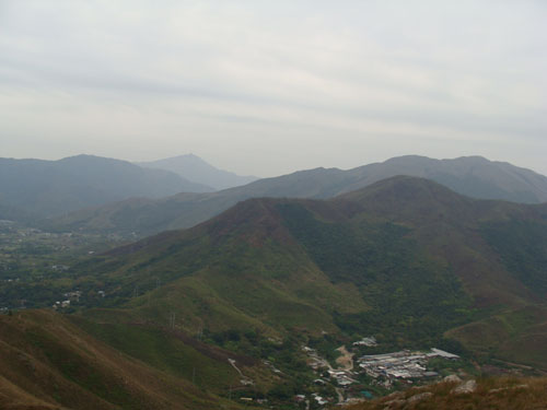
Location 3
Altitude : 135M
Description :
An abandoned hut which was probably used as guard post half a century ago.
Location 4

Altitude : 245M
Description :
This is little Tai Lo Tian (大羅天) which is also called 小羅天.
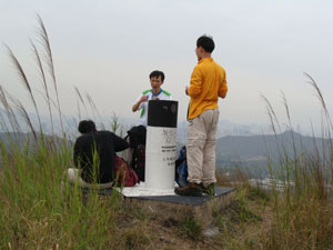
Location 5
Altitude : 325M
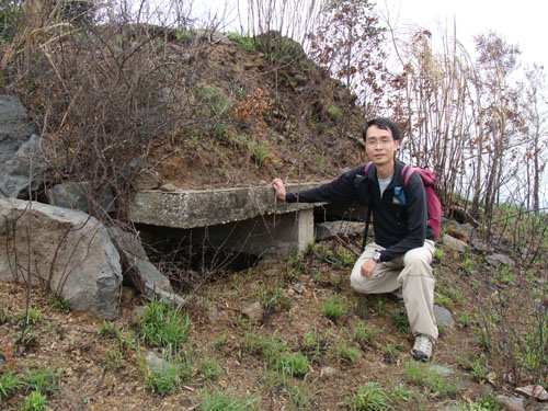
Description :
We found another trench construction.
There is a nearby small mountain which nourish some beautiful trees.

|

|
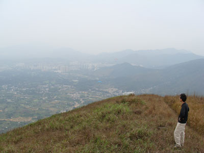
Location 6
Altitude : 337M
Description :
This is the top of Tai Lo Tian (大羅天).
Location 7
|

|
Altitude : 550M
Description :
There are a number of paragliders flying around Kai Kung Leng(雞公嶺).
Location 8
![]()
![]()
![]()
![]()